- News
- lifestyle
- travel
- destinations
- Highest motorable roads in India ranked by altitude and how adventure lovers can plan
Highest motorable roads in India ranked by altitude and how adventure lovers can plan
Highest motorable roads in India ranked by altitude and how adventure lovers can plan
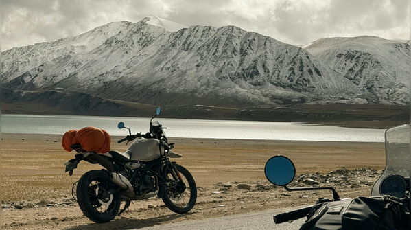
India’s highest motorable roads are less about conventional sightseeing and more about entering landscapes that feel almost unreal. Most of these extreme-altitude routes lie in Ladakh, where the Border Roads Organisation (BRO) has pushed roads across icy passes, military frontiers and barren Himalayan plateaus above 17,000 ft.
Here are India’s highest motorable roads ranked by altitude, and how travellers can realistically experience them.
Image Credit: Canva
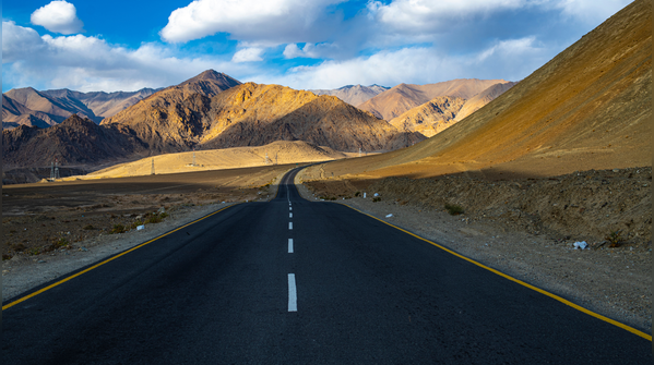
Umling La, Ladakh (19,300 ft)
Hidden deep inside Ladakh’s remote Changthang region, Umling La officially holds the title of the world’s highest motorable road, accessible for riders at around 19,300 ft. Built near the India-China border, the road links isolated villages such as Chisumle and Demchok through a vast, almost lunar landscape.
The journey here is intense even by Ladakh standards. You can fly into Leh, spend at least two- or three-days acclimatising, and then move gradually towards Hanle through Nyoma and Loma before attempting Umling La. The route itself becomes part of the experience, empty plateaus, distant mountain walls and stretches with absolutely no settlements.
For adventure lovers, Umling La works best as the final challenge of a longer Ladakh trip rather than the starting point. The ideal season is June to September, when roads remain accessible. Travellers should avoid attempting it solo unless highly experienced; organised bike groups or SUVs with local Ladakhi drivers, spare fuel and oxygen backup are strongly recommended.
Image Credit: Canva
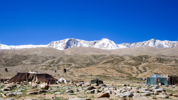
Marsimik La, Ladakh (18,314 ft)
Marsimik La, near Pangong Tso and close to the Line of Actual Control, is one of the world’s highest drivable passes and perhaps the most mysterious route on this list. Historically restricted because of its strategic military location, it has long been associated with army convoys and record-seeking riders.
Even today, access rules continue to evolve, so travellers must check the latest permissions before planning a visit. The terrain here is harsh and rugged with unpredictable weather and very little infrastructure. The appeal lies in the remoteness itself.
If planning around Marsimik La, you should treat it as an advanced expedition rather than a regular road trip. A Pangong-based itinerary with extra acclimatisation days is essential, and guided groups remain the safest option. Even in summer, conditions can turn severe quickly.
Image Credit: Canva
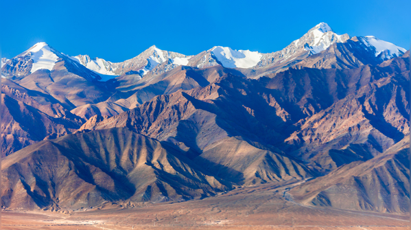
Photi La, Ladakh (18,124 ft)
Photi La in the Changthang region is now famous for dark-sky tourism and one of India’s best stargazing destinations. Though it crosses 18,000 ft, the pass still remains relatively unknown compared to Khardung La or Chang La.
The route from Leh runs through Nyoma, Loma and Hanle before climbing sharply towards the pass. Unlike Ladakh’s more commercial routes, this road often feels empty, with only occasional army vehicles and endless open valleys.
The experience here is about solitude. From the top, travellers get sweeping views over Changthang’s rugged terrain and Hanle’s tiny clusters of whitewashed homes below.
The route is most accessible between June and September, and early morning departures are safest because weather conditions can shift rapidly later in the day.
Image Credit: Canva
Kaksang La, Ladakh (17,841 ft)
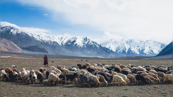
Kaksang La is not a polished tourist route. It is one of Ladakh’s wildest off-road drives, cutting through the remote Changthang plateau beyond Pangong Tso. Along the way, travellers pass remote lakes such as Yaye Tso and Mirpal Tso surrounded by stark mountain desert.
Kaksang La feels stripped down and elemental, there are no fuel stations, repair shops or proper accommodation nearby.
This route is best suited for highly experienced bikers and off-road drivers. Travellers should ideally move in groups with backup vehicles, extra fuel and spare tyres. Inner-line permits covering Chushul and nearby frontier regions are mandatory, and weather conditions should always be checked before departure. The ideal travel window remains June to September.
Image Credit: Canva
Chang La, Ladakh (17,590 ft)
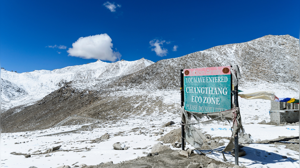
Chang La is one of Ladakh’s most visited high passes because it sits directly on the Leh-Pangong route. For many travellers, it becomes their first real experience of crossing extreme Himalayan altitude.
The drive begins from Leh through Karu and Sakti before climbing steeply towards the pass. Snow walls often remain visible even during summer, and colourful prayer flags surround the summit area. The biggest reward comes after the descent, when the first glimpses of Pangong Tso appears between the mountains.
Chang La works perfectly for travellers who want high-altitude adventure without attempting extremely remote routes. Altitude sickness can still affect visitors here, acclimatising in Leh beforehand is essential. The route is most reliable between May and September.
Image Credit: Canva
Khardung La, Ladakh (17,582 ft)
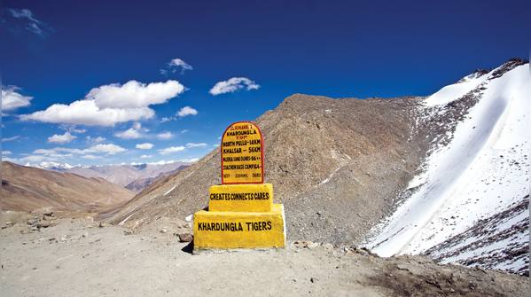
Even though it no longer holds the “highest motorable road” title, Khardung La remains the most legendary high pass in India. For decades, riders dreamt of reaching this summit, and it still represents a rite of passage for many Himalayan Road trippers.
The pass connects Leh with Nubra Valley through South Pullu and North Pullu checkpoints. Unlike Umling La or Kaksang La, Khardung La is comparatively accessible and easily fits into regular Ladakh itineraries.
You can plan it as a two- or three-day Nubra Valley circuit. The road remains open mainly between May and September, though weather disruptions are common. Because of the altitude, authorities advise visitors not to spend too long at the summit.
Image Credit: Canva
Taglang La, Ladakh (17,480 ft)
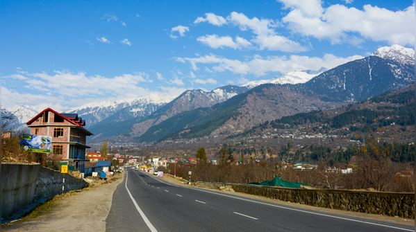
Taglang La forms one of the biggest highlights of the legendary Manali-Leh highway. It is located between the Morey Plains and the Indus Valley. Almost every traveller entering Ladakh by road from Himachal crosses Taglang La, making it one of India’s most famous overland adventure routes.
The scenery changes constantly here, broad plains, rocky mountain ridges and long stretches of open highway that feel cinematic for bikers and self-drive travellers.
The best way to experience Taglang La is as part of the full Manali-Leh road trip. The highway generally opens between June and September. Since altitude gain from Manali can happen very quickly, spending a night at Jispa before climbing higher is considered safer than rushing directly towards Leh.
Image Credit: Canva
Featured In lifestyle